
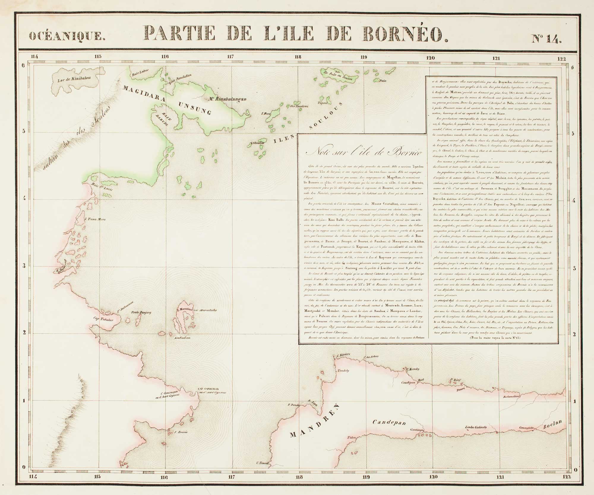

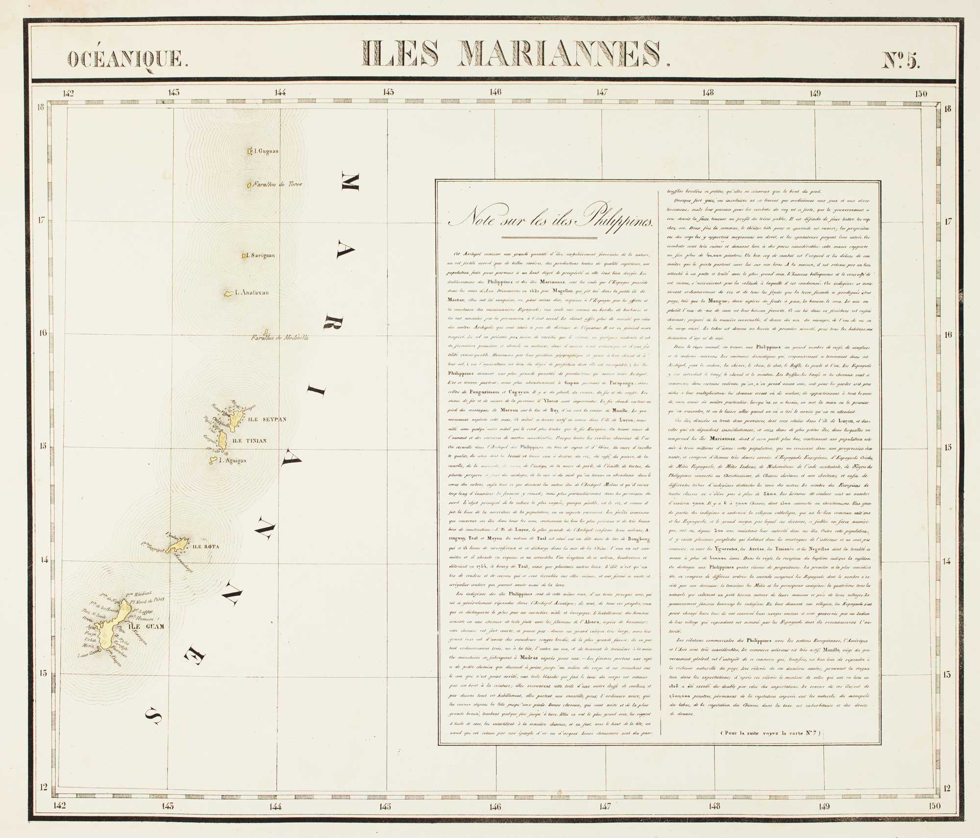
The 'complete' set of 6 maps of the Philippines
VANDERMAELEN, Philippe.
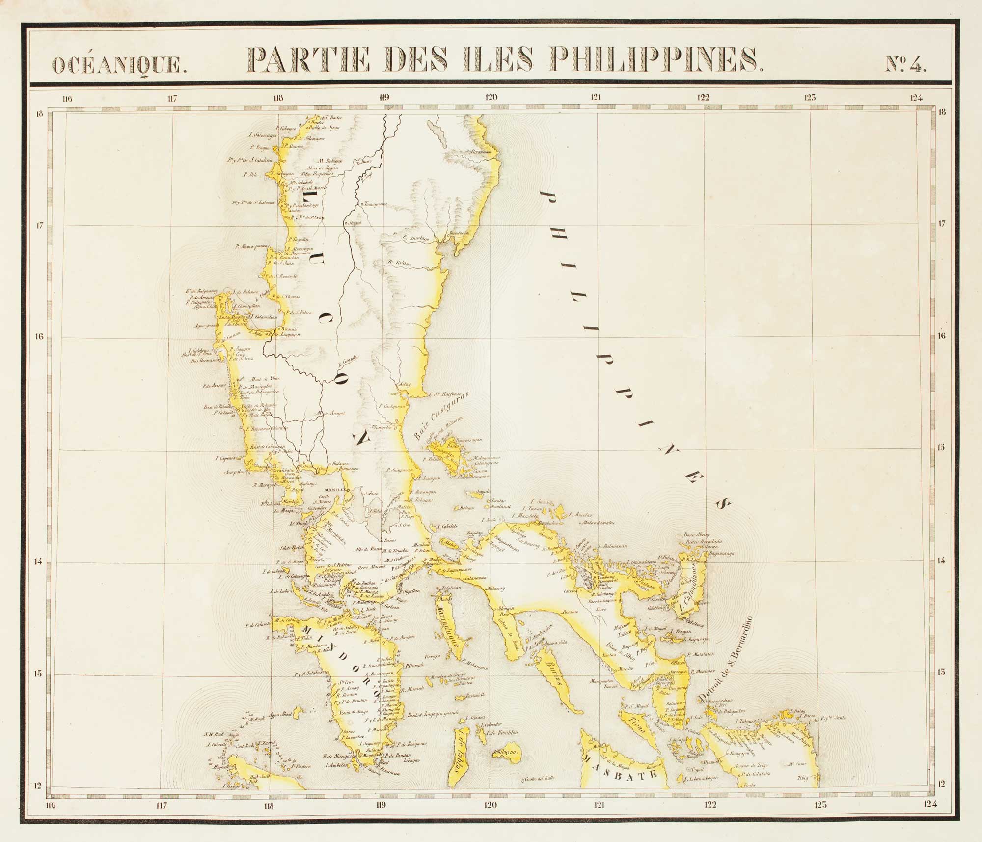
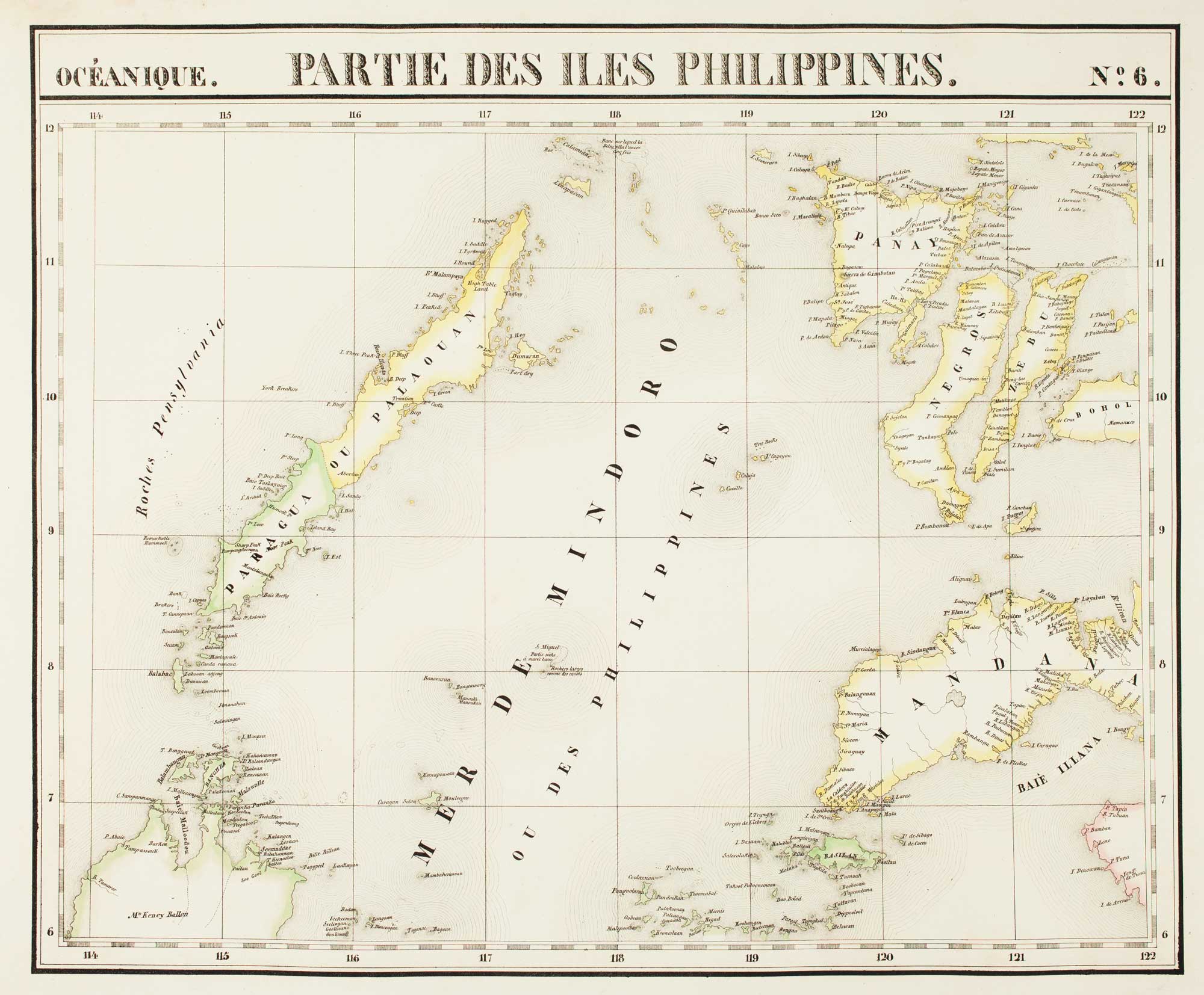
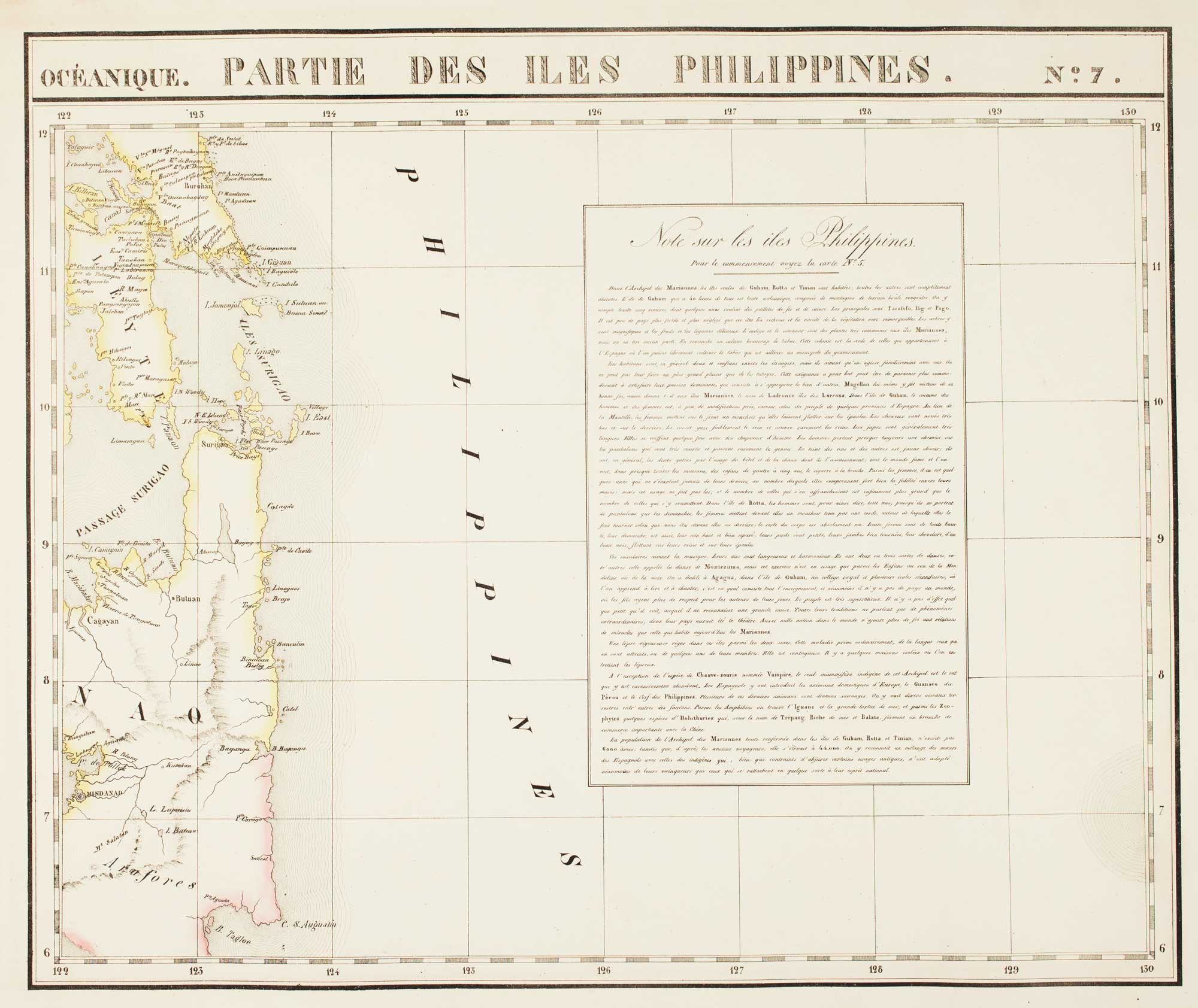
Océanique. Partie des Iles Philippines. [Plates 4, 6, 7, 14, 15 & 5.]
Brussels, 1827. Six sheets, lithographs with original colour. Each c.490 x 550mm.
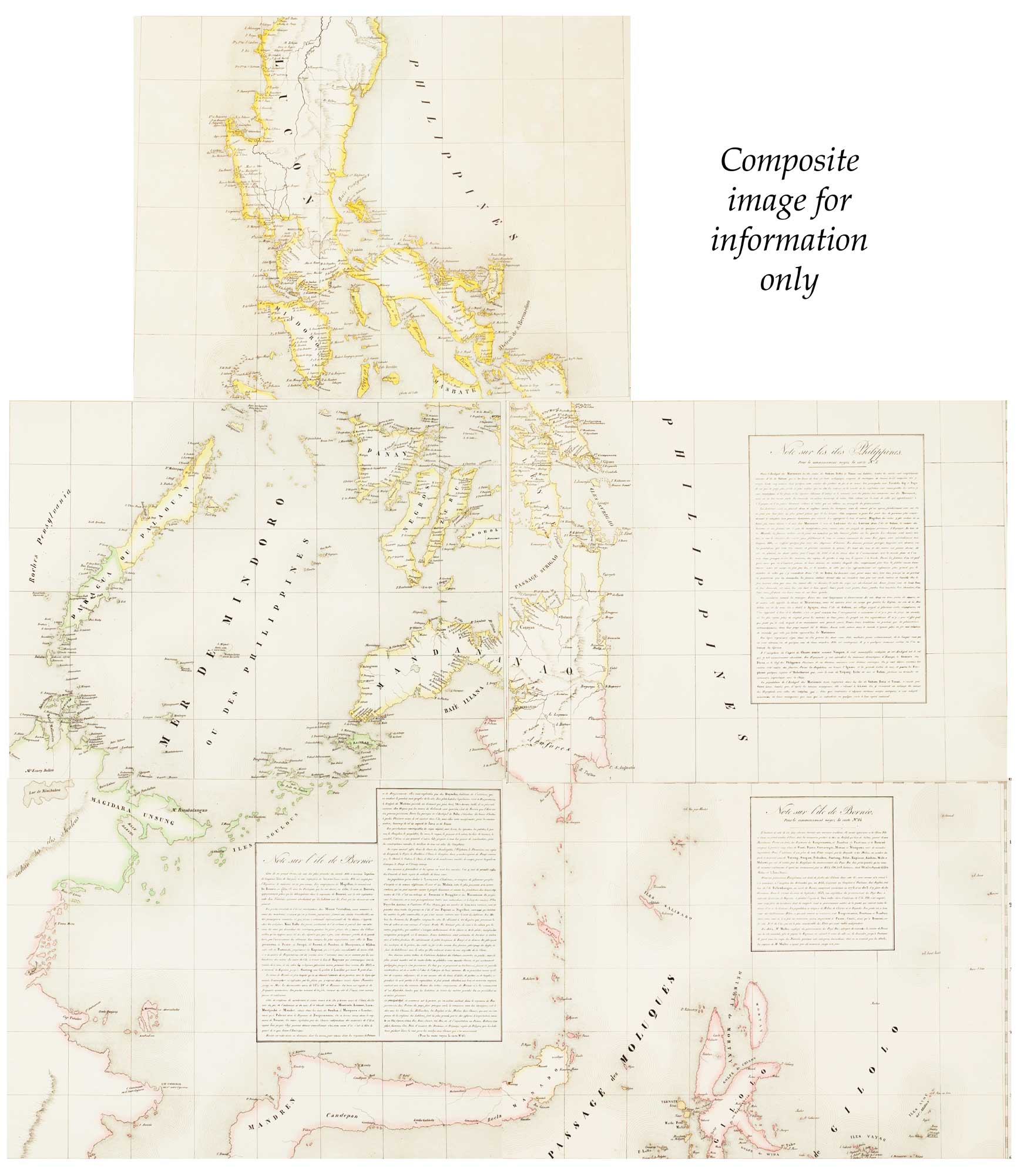
A group of five maps showing all the land of the Philippines, plus a map of the Mariannes which contains an extensive French-language description of the Philippines.
The 'Atlas Universel' was the first atlas to have every map on the same scale, 1:1,641,836, meaning some of the more remote regions of the world were shown in unprecedented detail. It is quite uncommon to find the complete set of the maps with the extra text sheet.
Stock ID : 16503
£2,500
£2,500

The 'complete' set of 6 maps of the Philippines
VANDERMAELEN, Philippe.
Océanique. Partie des Iles Philippines. [Plates 4, 6, 7, 14, 15 & 5.]
Brussels, 1827. Six sheets, lithographs with original colour. Each c.490 x 550mm.
A group of five maps showing all the land of the Philippines, plus a map of the Mariannes which contains an extensive French-language description of the Philippines.
The 'Atlas Universel' was the first atlas to have every map on the same scale, 1:1,641,836, meaning some of the more remote regions of the world were shown in unprecedented detail. It is quite uncommon to find the complete set of the maps with the extra text sheet.
Stock ID : 16503
£2,500
£2,500


Altea Antique Maps & Charts
Altea Gallery Ltd, 35 St George Street
London
W1S 2FN
United Kingdom
Tel: +44 20 7491 0010
info@alteagallery.com
Sitemap :

